Cuts made by the Trump administration are threatening the function of a tiny but crucial office within the National Oceanic and Atmospheric Administration that maintains the US framework of spatial information: latitudes, longitudes, vertical measurements like elevation, and even measurements of Earth’s gravitational field: The National Geodetic Survey (NGS) is the oldest scientific agency in the US
This story was originally published by Wired and is reproduced on Mother Jones as part of the Climate Desk collaboration.
Staff losses at the National Geodetic Survey could further cripple its mission and activities, including a long-awaited project to update the accuracy of these measurements, former employees and experts say. As the world turns more and more toward operations that need precise coordinate systems like the ones NGS provides, the science that underpins this office’s activities, these experts say, is becoming even more crucial.
The work of NGS, says Tim Burch, the executive director of the National Society of Professional Surveyors, “is kind of like oxygen. You don’t know you need it until it’s not there.”
“NOAA remains dedicated to providing timely information, research, and resources that serve the American public and ensure our nation’s environmental and economic resilience,” NOAA spokesperson Alison Gillespie told Wired in an email when asked about the downsizing of NGS.
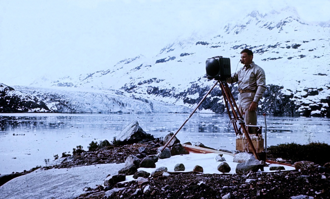
NGS was formed in 1807 by Thomas Jefferson, the son of a surveyor and cartographer. Originally called the Survey of the Coast, the organization, led by a young Swiss immigrant named Ferdinand Hassler, was tasked with mapping the coastlines of the new country. Over the next 200 years, its mission expanded to cover the practice of geodesy: the science of calculating the shape of the Earth, its orientation in space, and its gravitational field.
“Hassler understood that before you put pen to paper and make a chart or a map, if you wanted to [know how] things relate accurately one to another, especially if you’re going to do that over a large area like the United States, then you have to have a very strong mathematical foundation to put all these pieces together,” says Dave Doyle, a former chief geodetic surveyor at NGS. “That is, in a very simple way, what the science of geodesy brings to the nation.”